Nene Park
Map creation, visitor information and signage
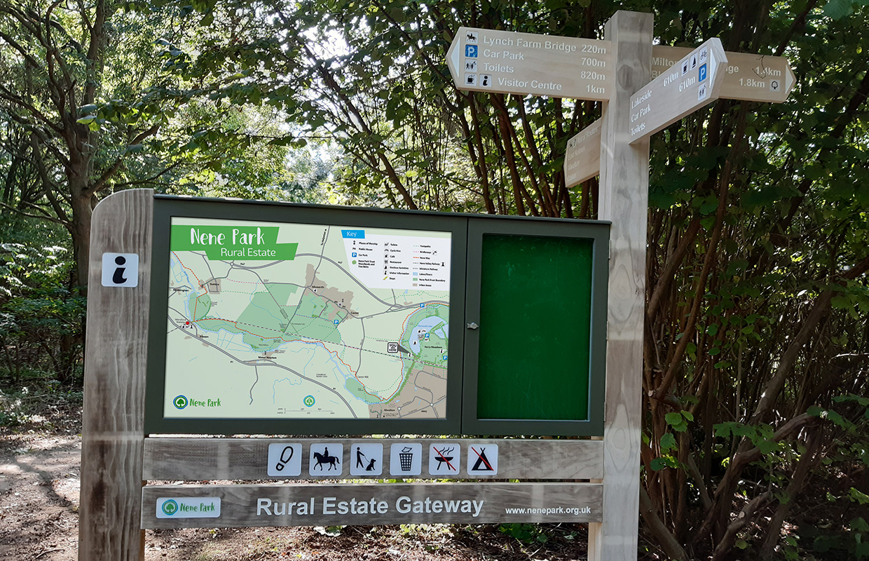
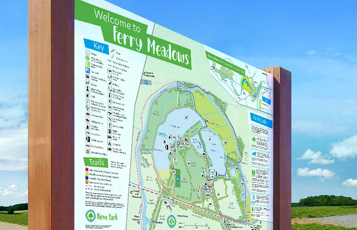
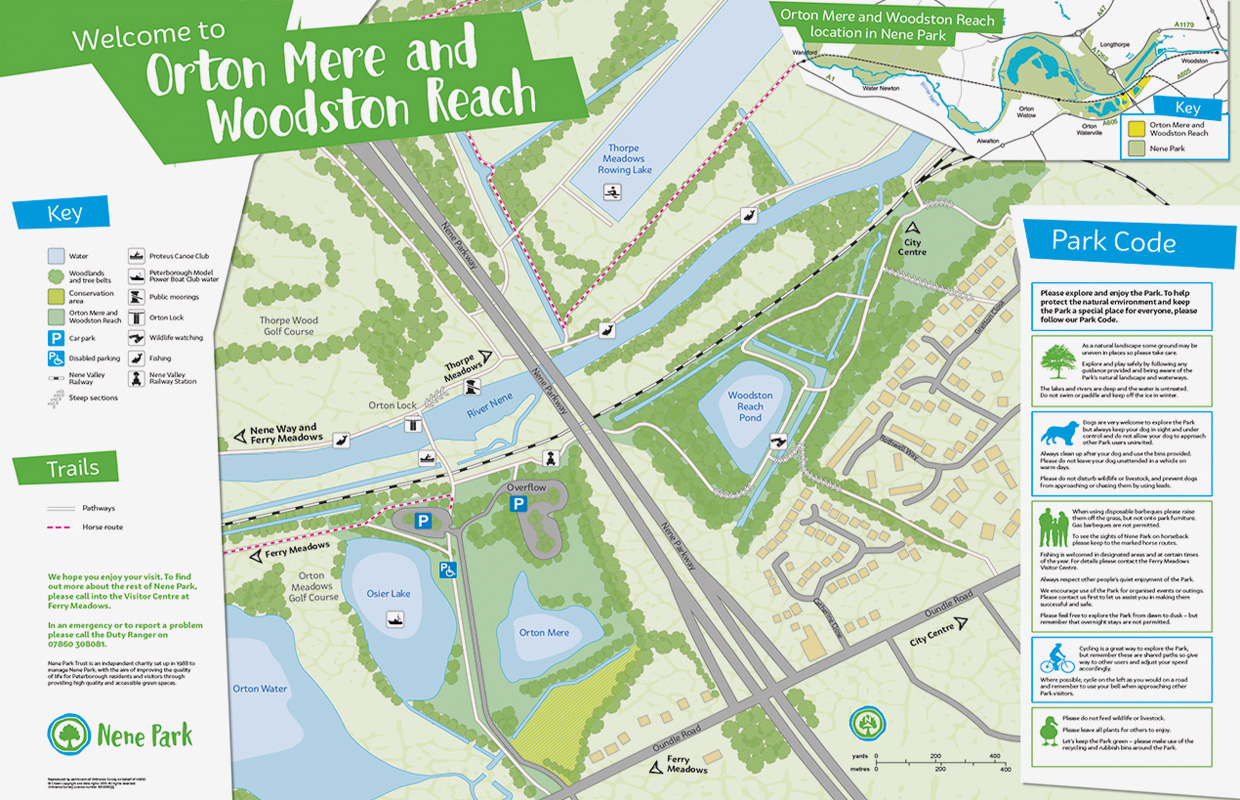
We worked with Nene Park to create their first ever map of the entire Rural estates area, showing key features of the landscape – both geographical and human. For example, car parks, pubs and churches as well as lakes and meadows.
What we did
Project management, information gathering, map creation, design
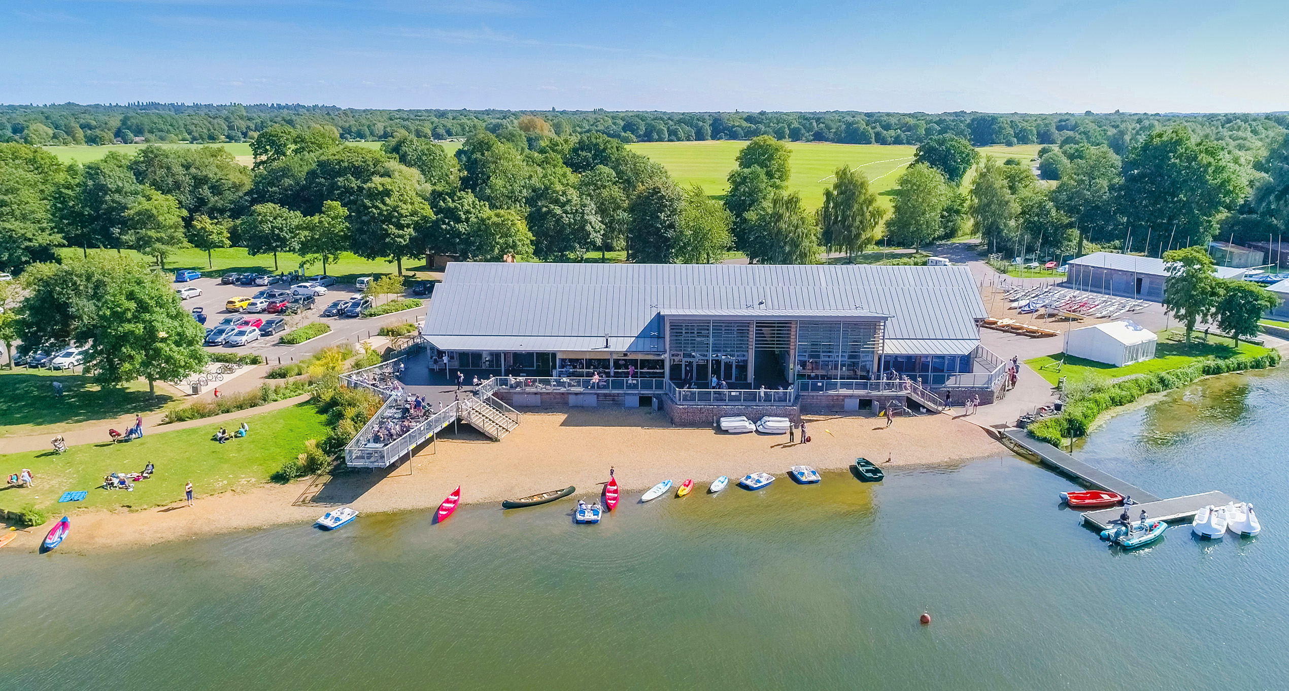
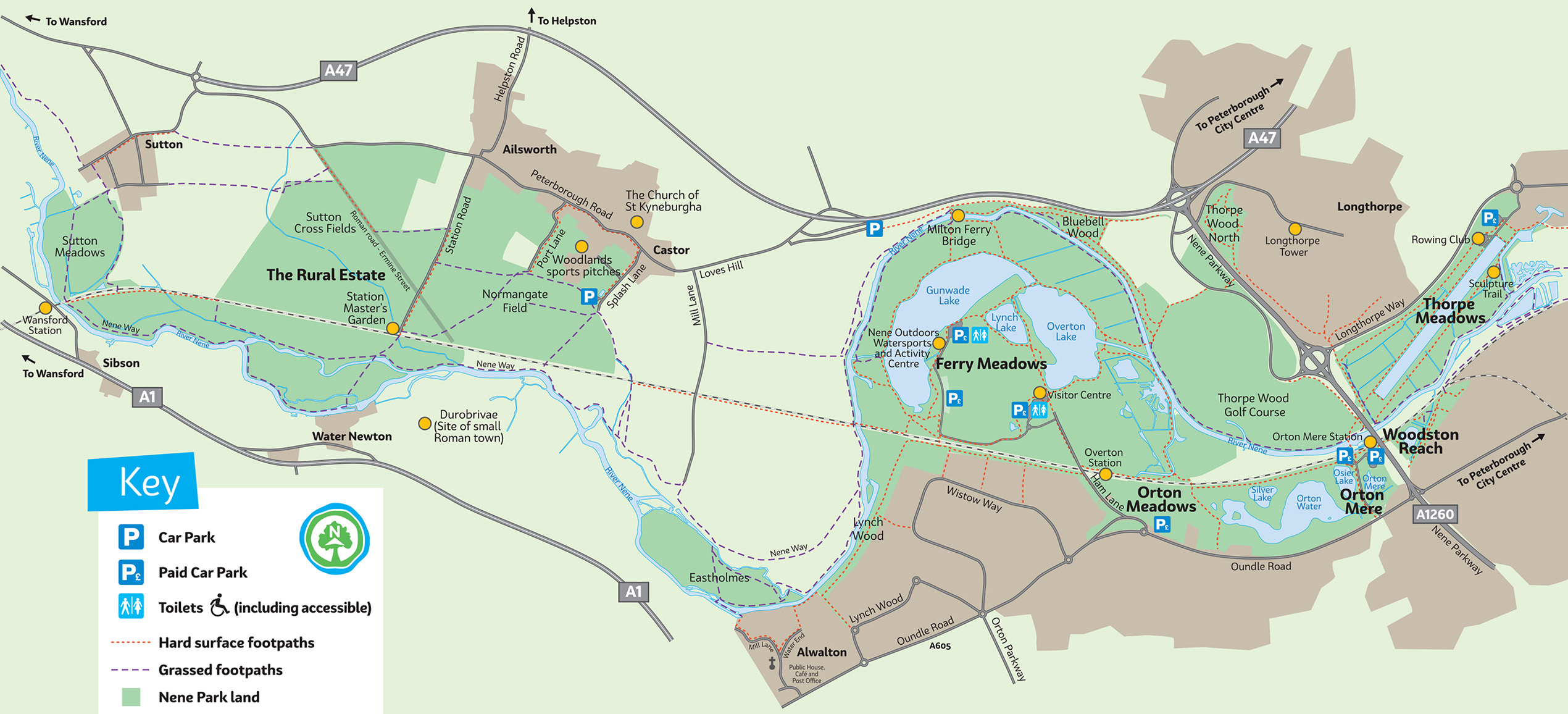
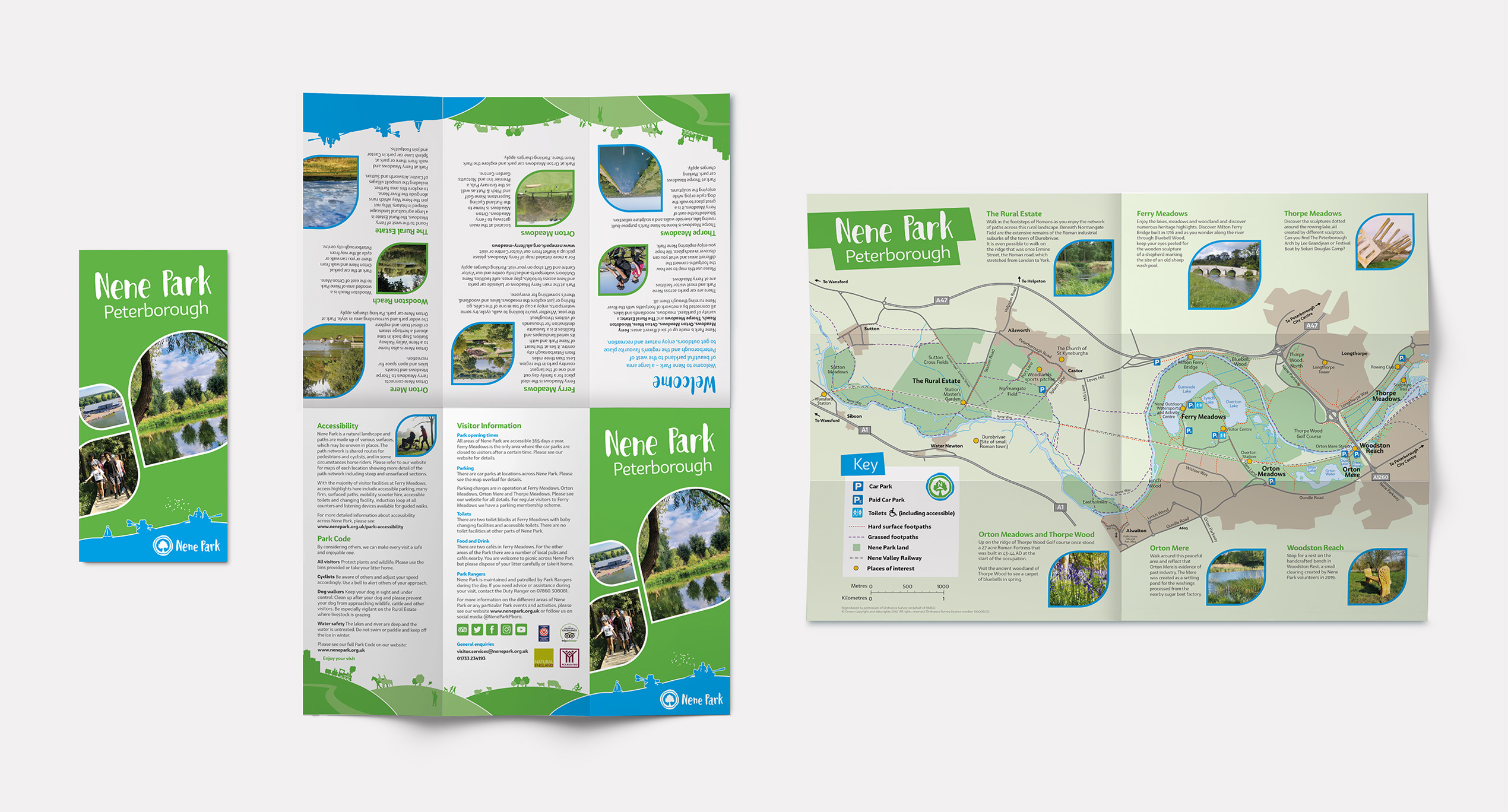
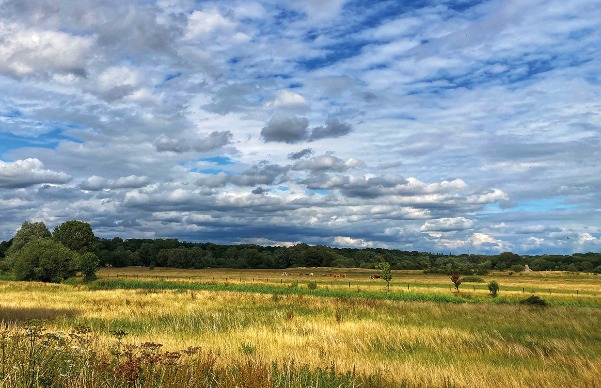
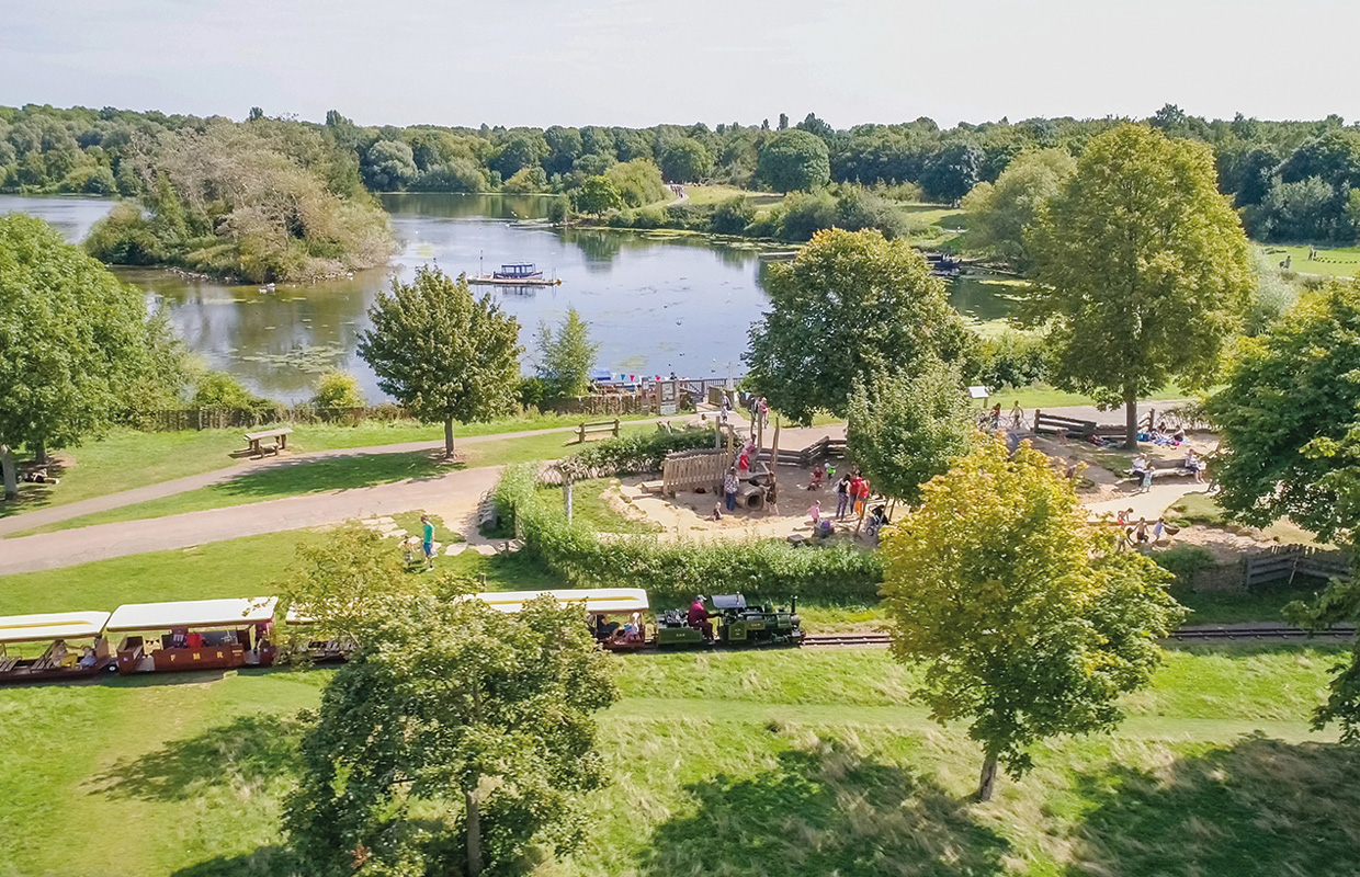
Nene Park is made up six areas to the west of Peterborough, made up of parkland, meadows, woodlands and lakes all linked together by the River Nene.
Capturing the landscape
This area had never previously been mapped for visitors, so we worked with a member of Nene Park’s Reserves team to identify key features of the landscape and to plot all the boundaries, footpaths, and features. Along the way, we had to make some shrewd decisions about what to include, what to leave out, and what to showcase, bearing in mind the varying needs of locals familiar with the area and those of first-time visitors. With accessibility needs in mind, it was also important to indicate which footpaths were grassed and which were hard surfaced.
Key to success was finding a scale that made sense of a large and disparate set of areas, both individually and as a whole, and that would translate well to a variety of media – from an A3 leaflet to large-scale on-site signage boards. Now they are up in various locations around the park, and the client reports: ‘they look really good and the feedback from the public has been very, very positive.’
